
Guy topographic map
Interactive map
Click on the map to display elevation.
About this map
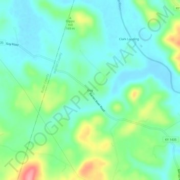
Name: Guy topographic map, elevation, terrain.
Location: Guy, Warren County, Kentucky, USA (37.10393 -86.63305 37.14393 -86.59305)
Average elevation: 152 m
Minimum elevation: 121 m
Maximum elevation: 231 m