Geolocate

Crystal Lake topographic map

Click on the map to display elevation.

Crystal Lake

The CDP is home to Crystal Lake, a 187-acre (76 ha) lake that straddles the border between Ellington and Stafford. Most of the lake shore is occupied by private residences, but there is a small public beach called Sandy Beach on the south side of the lake. The lake has an average depth of 20 feet (6.1 m), a maximum depth of 50 feet (15 m) and an elevation of 637 feet (194 m).

Wikipedia (CC-BY-SA 3.0)

About this map

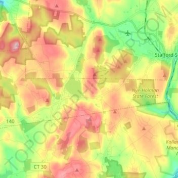
Name: Crystal Lake topographic map, elevation, terrain.

Location: Crystal Lake, Ellington, Capitol Planning Region, Connecticut, United States (41.91503 -72.43006 41.95717 -72.30628)

Average elevation: 213 m

Minimum elevation: 113 m

Maximum elevation: 315 m

Gear up for your next adventure:

🎒Hiking Backpack - Lightweight and ergonomic backpacks for day hikes or multi-day treks
🧴Waterproofing Spray - Restore the DWR coating on jackets and tents
💡Solar Camping Lamp - Eco-friendly lighting for campsites
🥾Mountain Hiking Boots - High-traction boots for rocky terrain
💡Compact LED Flashlight - Powerful and portable flashlight for outdoor use

As an Amazon Associate, this site earns from qualifying purchases at no extra cost to you.