Geolocate

The Foothills topographic map

Click on the map to display elevation.

About this map

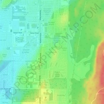
Name: The Foothills topographic map, elevation, terrain.

Location: The Foothills, Anchorage, Alaska, United States (61.20247 -149.73125 61.20704 -149.72243)

Average elevation: 89 m

Minimum elevation: 68 m

Maximum elevation: 128 m

Other topographic maps

Click on a map to view its topography, its elevation and its terrain.

Anchorage

United States > Alaska > Anchorage

Average elevation: 124 m

Gear up for your next adventure:

🥾Waterproof Hiking Shoes - Durable shoes for wet and rugged trails
🥾Approach Shoes - Shoes designed for climbing approaches and rugged trails
🥾Trail Hiking Shoes - Durable shoes designed for rugged trails
💧Reusable Water Bottle - Durable water bottles for hydration on trails
🧭Orienteering Kit - Tools for map reading and navigation in the wild

As an Amazon Associate, this site earns from qualifying purchases at no extra cost to you.