Geolocate

Union topographic map

Click on the map to display elevation.

About this map

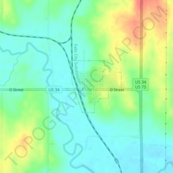
Name: Union topographic map, elevation, terrain.

Location: Union, Cass County, Nebraska, United States (40.80967 -95.92612 40.81778 -95.91566)

Average elevation: 308 m

Minimum elevation: 288 m

Maximum elevation: 345 m

Gear up for your next adventure:

🛶Kayak Accessories - Essential gear for safe and fun kayaking adventures
🏕️Camping Hammock - Integrated protection for sleeping between trees
🕶️Polarized Sunglasses - Protect your eyes with durable polarized lenses
🧼Travel Hand Sanitizer - Keep hands clean when water is scarce
🥾Waterproof Hiking Shoes - Durable shoes for wet and rugged trails

As an Amazon Associate, this site earns from qualifying purchases at no extra cost to you.