Geolocate

Martiñán topographic map

Click on the map to display elevation.

About this map

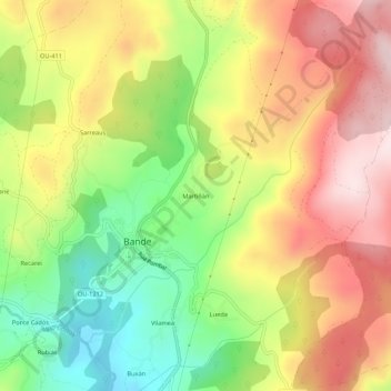
Name: Martiñán topographic map, elevation, terrain.

Location: Martiñán, Bande, A Baixa Limia, Ourense, Galicia, 32840, Spain (42.01625 -7.98686 42.05625 -7.94686)

Average elevation: 830 m

Minimum elevation: 628 m

Maximum elevation: 1,027 m

Gear up for your next adventure:

🧥Thermal Layer - Insulating layer for cold outdoor conditions
🧴Waterproofing Spray - Restore the DWR coating on jackets and tents
🔥Camping Stove - Portable stoves to cook outdoors with ease
🎒Hiking Backpack - Lightweight and ergonomic backpacks for day hikes or multi-day treks
🥾Trail Hiking Socks - Comfortable socks to prevent blisters and fatigue

As an Amazon Associate, this site earns from qualifying purchases at no extra cost to you.