
Kettering topographic map
Interactive map
Click on the map to display elevation.
About this map
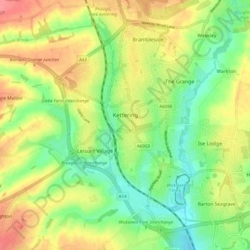
Name: Kettering topographic map, elevation, terrain.
Location: Kettering, North Northamptonshire, Inglaterra, Reino Unido (52.37198 -0.75438 52.42193 -0.65740)
Average elevation: 88 m
Minimum elevation: 53 m
Maximum elevation: 130 m