
Hechtel-Eksel topographic map
Interactive map
Click on the map to display elevation.
About this map
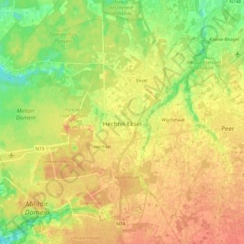
Name: Hechtel-Eksel topographic map, elevation, terrain.
Location: Hechtel-Eksel, Maaseik, Limbourg, Flandre, Belgique (51.08764 5.26100 51.18188 5.43760)
Average elevation: 60 m
Minimum elevation: 38 m
Maximum elevation: 75 m