
Backen topographic map
Interactive map
Click on the map to display elevation.
About this map
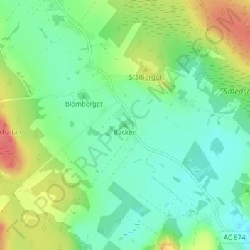
Name: Backen topographic map, elevation, terrain.
Location: Backen, Skellefteå kommun, Västerbottens län, 934 96, Zweden (64.88594 20.97793 64.88604 20.97803)
Average elevation: 26 m
Minimum elevation: 7 m
Maximum elevation: 63 m
Other topographic maps
Click on a map to view its topography, its elevation and its terrain.
Lycksele kommun
Lycksele kommun, Västerbottens län, Zweden
Average elevation: 356 m