Geolocate

Salbari topographic map

Click on the map to display elevation.

About this map

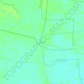
Name: Salbari topographic map, elevation, terrain.

Location: Salbari, Sarupeta, Baksa District, Assam, India (26.62123 91.07666 26.66123 91.11666)

Average elevation: 51 m

Minimum elevation: 46 m

Maximum elevation: 56 m

Gear up for your next adventure:

🥽Outdoor Goggles - Protective eyewear for outdoor activities
🦌Outdoor Trail Camera - Monitor wildlife activity near your favorite spots
🔦LED Flashlight - Powerful and long-lasting flashlight for camping and emergencies
🧊Insulated Water Bottle - Keeps drinks cold in summer and prevents freezing in winter
🥾Mountain Hiking Boots - High-traction boots for rocky terrain

As an Amazon Associate, this site earns from qualifying purchases at no extra cost to you.