
Temeswar topographic map
Interactive map
Click on the map to display elevation.
About this map
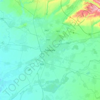
Name: Temeswar topographic map, elevation, terrain.
Location: Temeswar, Temesch, 300030, Rumänien (45.59384 21.06575 45.91384 21.38575)
Average elevation: 97 m
Minimum elevation: 79 m
Maximum elevation: 204 m
Other topographic maps
Click on a map to view its topography, its elevation and its terrain.