
Qin County topographic map
Click on the map to display elevation.
About this map
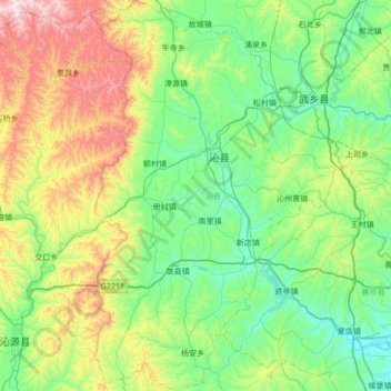
Name: Qin County topographic map, elevation, terrain.
Location: Qin County, Changzhi, Shanxi, China (36.42773 112.46529 36.97360 112.89530)
Average elevation: 1,139 m
Minimum elevation: 871 m
Maximum elevation: 1,918 m