
Weavers topographic map
Click on the map to display elevation.
About this map
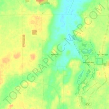
Name: Weavers topographic map, elevation, terrain.
Location: Weavers, Darke County, Ohio, United States (40.00644 -84.69829 40.04644 -84.65829)
Average elevation: 328 m
Minimum elevation: 308 m
Maximum elevation: 344 m
Other topographic maps
Click on a map to view its topography, its elevation and its terrain.