Geolocate

Terroso topographic map

Click on the map to display elevation.

About this map
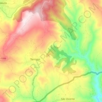
Name: Terroso topographic map, elevation, terrain.

Location: Terroso, Vilardevós, Verín, Orense, Galicia, España (41.85208 -7.30484 41.90900 -7.24322)

Average elevation: 793 m

Minimum elevation: 510 m

Maximum elevation: 1,060 m

Gear up for your next adventure:

🔦LED Headtorch - Bright and durable light for night activities
🧤Insulated Winter Gloves - Heavy-duty protection for sub-zero Canadian adventures
🚲Bike Repair Kit - Essential tools for on-trail mechanical issues
📷Outdoor Action Camera - Capture high-elevation views and rugged adventures
❄️Traction Ice Cleats - Slip-on spikes for icy trails and winter hiking

As an Amazon Associate, this site earns from qualifying purchases at no extra cost to you.