
Gambara topographic map
Interactive map
Click on the map to display elevation.
About this map
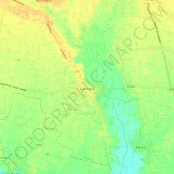
Name: Gambara topographic map, elevation, terrain.
Location: Gambara, Brescia, Lombardie, Italie (45.22412 10.26188 45.28778 10.36198)
Average elevation: 47 m
Minimum elevation: 32 m
Maximum elevation: 57 m