Geolocate

Túcume topographic map

Click on the map to display elevation.

About this map

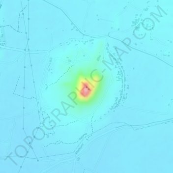
Name: Túcume topographic map, elevation, terrain.

Location: Túcume, Lambayeque, Perú (-6.51776 -79.84183 -6.51766 -79.84173)

Average elevation: 51 m

Minimum elevation: 40 m

Maximum elevation: 184 m

Gear up for your next adventure:

🧥Waterproof Hiking Jacket - Protect yourself from rain and wind while hiking
🔪Outdoor Multitool - Versatile tool for repairs and food prep in the wild
🥾Waterproof Hiking Boots - Essential footwear for rugged terrain and wet Canadian trails
🧥Waterproof Pants - Keep dry during rainy hiking conditions
🥾Lightweight Hiking Shoes - Comfortable shoes for day hikes

As an Amazon Associate, this site earns from qualifying purchases at no extra cost to you.