Geolocate

Pampa Baja topographic map

Click on the map to display elevation.

About this map

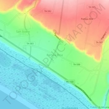
Name: Pampa Baja topographic map, elevation, terrain.

Location: Pampa Baja, Ite, Jorge Basadre, Tacna, Perú (-17.90532 -70.99746 -17.86532 -70.95746)

Average elevation: 60 m

Minimum elevation: 0 m

Maximum elevation: 157 m

Other topographic maps

Click on a map to view its topography, its elevation and its terrain.

Humedales de Ite

Perú > Tacna > Ite

Average elevation: 51 m

Humedales de Ite

Perú > Tacna > Ite

Average elevation: 51 m

Gear up for your next adventure:

🧦Outdoor Socks - Durable socks designed for hiking and outdoor sports
🧶550 Survival Paracord - Versatile utility cord for emergency repairs and rigging
🔦LED Flashlight - Powerful and long-lasting flashlight for camping and emergencies
🔋Lithium AA Batteries - Long-lasting power that performs in extreme cold
👟Sport Hiking Sandals - Breathable footwear for water crossings and camp rest

As an Amazon Associate, this site earns from qualifying purchases at no extra cost to you.