
Felda Sungai Sayong topographic map
Interactive map
Click on the map to display elevation.
About this map
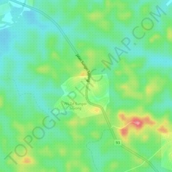
Name: Felda Sungai Sayong topographic map, elevation, terrain.
Location: Felda Sungai Sayong, Kota Tinggi, Johor, 81060, Malaysia (1.76457 103.66224 1.80457 103.70224)
Average elevation: 37 m
Minimum elevation: 7 m
Maximum elevation: 99 m