Geolocate

Feldkirchen topographic map

Click on the map to display elevation.

About this map

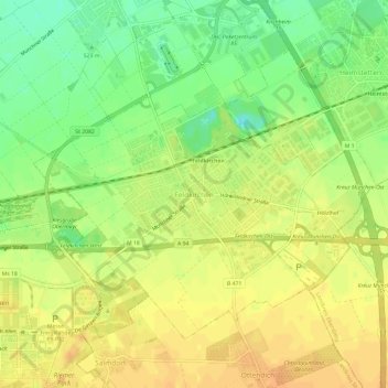
Name: Feldkirchen topographic map, elevation, terrain.

Location: Feldkirchen, Landkreis München, Bavaria, 85622, Germany (48.12758 11.70992 48.16758 11.74992)

Average elevation: 524 m

Minimum elevation: 505 m

Maximum elevation: 536 m

Gear up for your next adventure:

🔦LED Flashlight - Powerful and long-lasting flashlight for camping and emergencies
Camping Groundsheet - Protect your tent from moisture and dirt
🥾Trail Hiking Boots - Supportive boots for rough trails
🔋Emergency Crank Radio - Weather alerts and power without needing batteries
💧Filtered Water Bottle - Safe drinking water on the go

As an Amazon Associate, this site earns from qualifying purchases at no extra cost to you.