
Lugu topographic map
Interactive map
Click on the map to display elevation.
About this map
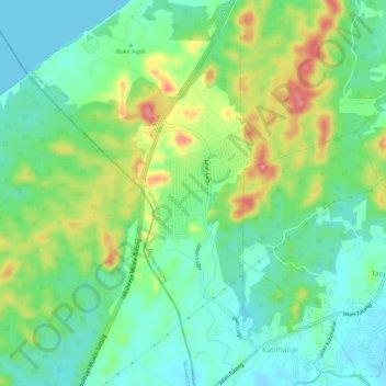
Name: Lugu topographic map, elevation, terrain.
Location: Lugu, Mukim Sengkurong, Brunei-Muara District, Brunei (4.86272 114.79355 4.91999 114.81088)
Average elevation: 34 m
Minimum elevation: -1 m
Maximum elevation: 101 m