Geolocate

Heritage topographic map

Click on the map to display elevation.

About this map

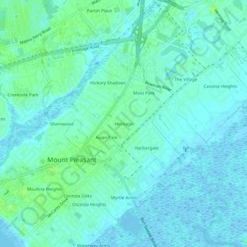
Name: Heritage topographic map, elevation, terrain.

Location: Heritage, Mount Pleasant, Charleston County, South Carolina, 29964, United States (32.77990 -79.87258 32.81990 -79.83258)

Average elevation: 4 m

Minimum elevation: -2 m

Maximum elevation: 11 m

Other topographic maps

Click on a map to view its topography, its elevation and its terrain.

Gear up for your next adventure:

🚲Bike Repair Kit - Essential tools for on-trail mechanical issues
🥾Waterproof Hiking Shoes - Durable shoes for wet and rugged trails
🧥Waterproof Hiking Jacket - Protect yourself from rain and wind while hiking
💧Filtered Water Bottle - Safe drinking water on the go
🍽️Titanium Camping Spork - Ultralight and indestructible eating utensil

As an Amazon Associate, this site earns from qualifying purchases at no extra cost to you.