Geolocate

Bulajo topographic map

Click on the map to display elevation.

About this map

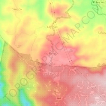
Name: Bulajo topographic map, elevation, terrain.

Location: Bulajo, Cavinti, Laguna, Calabarzon, 4013, Philippines (14.20398 121.47131 14.24398 121.51131)

Average elevation: 274 m

Minimum elevation: 92 m

Maximum elevation: 372 m

Gear up for your next adventure:

👖Convertible Hiking Pants - Zip-off legs to adapt to changing weather conditions
🧳Compression Sacks - Maximize space in your backpack by shrinking gear
🧦Hiking Socks - Moisture-wicking and comfortable socks for long hikes
🌬️Windproof Camp Stove - Efficient cooking even on exposed mountain peaks
🥾Trail Hiking Socks - Comfortable socks to prevent blisters and fatigue

As an Amazon Associate, this site earns from qualifying purchases at no extra cost to you.