Geolocate

Sungai Buluh topographic map

Click on the map to display elevation.

About this map
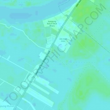
Name: Sungai Buluh topographic map, elevation, terrain.

Location: Sungai Buluh, Kampung Mutiara, Bagan Datuk, Perak, Malaysia (3.92133 100.95132 3.94037 100.96795)

Average elevation: 4 m

Minimum elevation: 1 m

Maximum elevation: 10 m

Gear up for your next adventure:

🍽️Titanium Camping Spork - Ultralight and indestructible eating utensil
🏃Hydration Running Vest - Carry water and maps close to your body for speed
🛌Down Sleeping Bag - Superior warmth-to-weight ratio for cold nights
🔦LED Headlamp - Hands-free lighting for early morning starts or late finishes
🥾Mountain Trail Shoes - High-traction shoes for mountain trails

As an Amazon Associate, this site earns from qualifying purchases at no extra cost to you.