Geolocate

Vansant topographic map

Click on the map to display elevation.

About this map

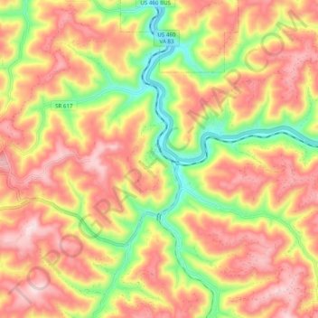
Name: Vansant topographic map, elevation, terrain.

Location: Vansant, Buchanan County, Virginia, 24656, United States (37.21509 -82.12298 37.25397 -82.06345)

Average elevation: 514 m

Minimum elevation: 327 m

Maximum elevation: 707 m

Gear up for your next adventure:

🥾Trekking Boots - Durable boots for long-distance trekking
🍽️Titanium Camping Spork - Ultralight and indestructible eating utensil
🥾Mountain Trail Shoes - High-traction shoes for mountain trails
🚲Handlebar Phone Mount - View topographic-map.com live while cycling
👟Leg Gaiters - Keep debris, mud, and snow out of your boots

As an Amazon Associate, this site earns from qualifying purchases at no extra cost to you.