
Buciumeni topographic map
Interactive map
Click on the map to display elevation.
About this map
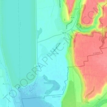
Name: Buciumeni topographic map, elevation, terrain.
Location: Buciumeni, Drăgoești, Vâlcea, 247151, Roumanie (44.76568 24.27157 44.80568 24.31157)
Average elevation: 180 m
Minimum elevation: 156 m
Maximum elevation: 225 m
Other topographic maps
Click on a map to view its topography, its elevation and its terrain.