
Thank you for supporting this site ❤️
Make a donation
Make a donation
Gear up for your next adventure:
As an Amazon Associate, this site earns from qualifying purchases at no extra cost to you.
Ortayol topographic map
Click on the map to display elevation.
Thank you for supporting this site ❤️
Make a donation
Make a donation
Gear up for your next adventure:
As an Amazon Associate, this site earns from qualifying purchases at no extra cost to you.
About this map
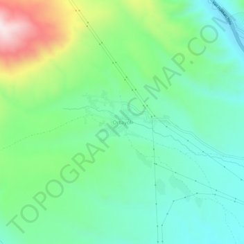
Name: Ortayol topographic map, elevation, terrain.
Location: Ortayol, Başkale, Van, Eastern Anatolia Region, Turkey (38.07743 44.05563 38.11743 44.09563)
Average elevation: 2,236 m
Minimum elevation: 2,054 m
Maximum elevation: 2,685 m
Thank you for supporting this site ❤️
Make a donation
Make a donation
Gear up for your next adventure:
As an Amazon Associate, this site earns from qualifying purchases at no extra cost to you.