
Thank you for supporting this site ❤️
Make a donation
Make a donation
Gear up for your next adventure:
As an Amazon Associate, this site earns from qualifying purchases at no extra cost to you.
Tanbing topographic map
Click on the map to display elevation.
Thank you for supporting this site ❤️
Make a donation
Make a donation
Gear up for your next adventure:
As an Amazon Associate, this site earns from qualifying purchases at no extra cost to you.
About this map
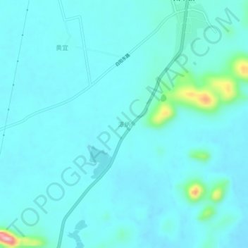
Name: Tanbing topographic map, elevation, terrain.
Location: Tanbing, Liucheng County, Liuzhou City, Guangxi, China (24.67446 109.34302 24.71446 109.38302)
Average elevation: 177 m
Minimum elevation: 155 m
Maximum elevation: 345 m
Thank you for supporting this site ❤️
Make a donation
Make a donation
Gear up for your next adventure:
As an Amazon Associate, this site earns from qualifying purchases at no extra cost to you.