
Lac Der topographic map
Interactive map
Click on the map to display elevation.
About this map
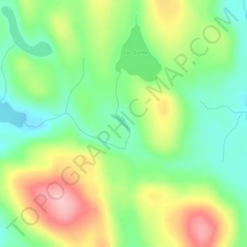
Name: Lac Der topographic map, elevation, terrain.
Average elevation: 404 m
Minimum elevation: 341 m
Maximum elevation: 497 m
Other topographic maps
Click on a map to view its topography, its elevation and its terrain.
ZEC Pontiac
Canada > Quebec > Lac-Nilgaut
ZEC Pontiac, Lac-Nilgaut, Pontiac (MRC), Outaouais, Quebec, Canada
Average elevation: 327 m