Geolocate

Lichtenburg topographic map

Click on the map to display elevation.

About this map

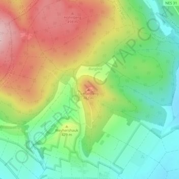
Name: Lichtenburg topographic map, elevation, terrain.

Location: Lichtenburg, Ostheim v.d.Rhön, Ostheim vor der Rhön (VGem), Landkreis Rhön-Grabfeld, Bayern, 97645, Deutschland (50.47678 10.22877 50.47760 10.23063)

Average elevation: 395 m

Minimum elevation: 296 m

Maximum elevation: 528 m

Other topographic maps

Click on a map to view its topography, its elevation and its terrain.

Gear up for your next adventure:

Lightweight Camping Tent - Portable shelter optimized for Canadian backcountry camping
🔦LED Headlamp - Hands-free lighting for early morning starts or late finishes
🛏️Sleeping Bag - Warm and compact sleeping bags for outdoor camping
🕶️Polarized Sunglasses - Reduces glare from snow and water at high elevations
🥾Mountain Hiking Shoes - Shoes with superior grip for mountainous terrain

As an Amazon Associate, this site earns from qualifying purchases at no extra cost to you.