
In den Kaempen und Veensche Le topographic map
Interactive map
Click on the map to display elevation.
About this map
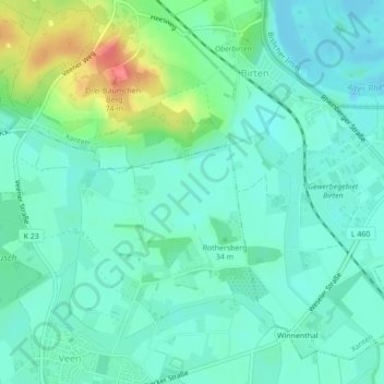
Name: In den Kaempen und Veensche Le topographic map, elevation, terrain.
Average elevation: 28 m
Minimum elevation: 12 m
Maximum elevation: 75 m