Geolocate

Bassi topographic map

Click on the map to display elevation.

About this map

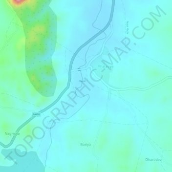
Name: Bassi topographic map, elevation, terrain.

Location: Bassi, Jhadol Tehsil, Udaipur District, Rajasthan, India (24.23444 73.37080 24.24650 73.38796)

Average elevation: 542 m

Minimum elevation: 519 m

Maximum elevation: 659 m

Gear up for your next adventure:

🧢Hiking Sun Hat - Wide-brimmed protection for exposed mountain ridges
🥽Outdoor Goggles - Protective eyewear for outdoor activities
🧰Multitool Knife - Compact and versatile tool for outdoor use
🥾Lightweight Hiking Boots - Boots for comfort and mobility on long hikes
🕶️Polarized Sunglasses - Protect your eyes with durable polarized lenses

As an Amazon Associate, this site earns from qualifying purchases at no extra cost to you.