Geolocate

Comon topographic map

Click on the map to display elevation.

About this map

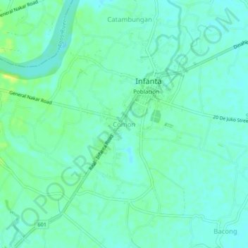
Name: Comon topographic map, elevation, terrain.

Location: Comon, Infanta, Quezon, Calabarzon, 4336, Philippines (14.72000 121.62553 14.76000 121.66553)

Average elevation: 6 m

Minimum elevation: 0 m

Maximum elevation: 19 m

Other topographic maps

Click on a map to view its topography, its elevation and its terrain.

Agos River

Philippines > Quezon > Infanta > Pinaglapatan

Average elevation: 1 m

Agos River

Philippines > Quezon > Infanta > Pinaglapatan

Average elevation: 1 m

Gear up for your next adventure:

🥾Mountaineering Boots - Supportive boots for climbing and high-altitude hiking
🚑Survival Whistle - Signal for help across long distances in mountains
🥾Light Hiking Boots - Lightweight and comfortable boots for day hikes
🛁Quick-Dry Microfiber Towel - Space-saving towel that dries rapidly on the move
👖Convertible Hiking Pants - Zip-off legs to adapt to changing weather conditions

As an Amazon Associate, this site earns from qualifying purchases at no extra cost to you.