
El Cairo topographic map
Click on the map to display elevation.
About this map
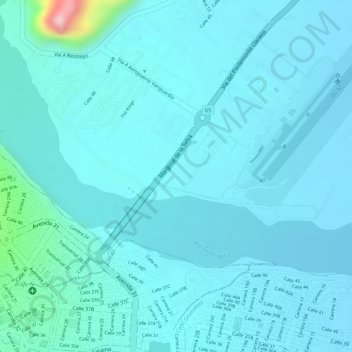
Name: El Cairo topographic map, elevation, terrain.
Location: El Cairo, Villavicencio, Capital, Meta, 500010, Colombia (4.15242 -73.63525 4.17242 -73.61525)
Average elevation: 437 m
Minimum elevation: 413 m
Maximum elevation: 627 m
Other topographic maps
Click on a map to view its topography, its elevation and its terrain.
Villavicencio
Colombia > Meta > Villavicencio
Topográficamente se distinguen dos regiones: una montañosa ubicada al occidente y noroccidente, formada por el costado de la Cordillera Oriental; la otra, una planicie inclinada ligeramente hacia el oriente y el nororiente, corresponde al piedemonte de la cordillera, bordeada al norte por el río Guatiquía.…
Average elevation: 451 m