
Atlangatepec topographic map
Click on the map to display elevation.
About this map
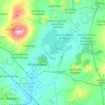
Name: Atlangatepec topographic map, elevation, terrain.
Location: Atlangatepec, Tlaxcala, Mexico (19.48939 -98.25232 19.60430 -98.10134)
Average elevation: 2,549 m
Minimum elevation: 2,462 m
Maximum elevation: 2,890 m
Other topographic maps
Click on a map to view its topography, its elevation and its terrain.
Malinche
Mexico > Tlaxcala > Teolocholco
On lower slopes are farmlands which grow mostly field "dent" corn and forests which transition from alders and various types of oak to Montezuma pines and sacred firs with increasing elevation. The upper slopes are zacatonal. The summit is covered by snow part of the year and is considered to be the coldest…
Average elevation: 3,911 m
Tlaxcala City
Mexico > Tlaxcala > Municipio de Tlaxcala
The city is located in the central Mexican highlands 2,239 metres (7,346 feet) above sea level, in a valley of the same name, from which the Popocatépetl and Iztaccíhuatl volcanoes can be seen in the distance. The main elevations in the municipality are El Cerro Ostol at 2,460 metres (8,070 feet) and El…
Average elevation: 2,414 m