Geolocate

La Lima topographic map

Click on the map to display elevation.

About this map

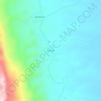
Name: La Lima topographic map, elevation, terrain.

Location: La Lima, Ciudad Valles, San Luis Potosi, 79000, Mexico (21.90595 -99.12211 21.94595 -99.08211)

Average elevation: 198 m

Minimum elevation: 86 m

Maximum elevation: 677 m

Gear up for your next adventure:

🧳Compression Sacks - Maximize space in your backpack by shrinking gear
🧭GPS Tracker - Track your location in remote areas safely
💧Hydration Pack - Hands-free hydration system for long hikes
Camping Tent - Weather-resistant tents suitable for 2 to 6 people
🚲MTB Frame Bag - Carry tools and maps directly on your bicycle frame

As an Amazon Associate, this site earns from qualifying purchases at no extra cost to you.