
Itahari topographic map
Click on the map to display elevation.
About this map
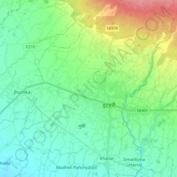
Name: Itahari topographic map, elevation, terrain.
Location: Itahari, Sunsari, Koshi Province, 56705, Nepal (26.61043 87.20258 26.73749 87.32787)
Average elevation: 116 m
Minimum elevation: 89 m
Maximum elevation: 189 m