
Nijgadh topographic map
Click on the map to display elevation.
About this map
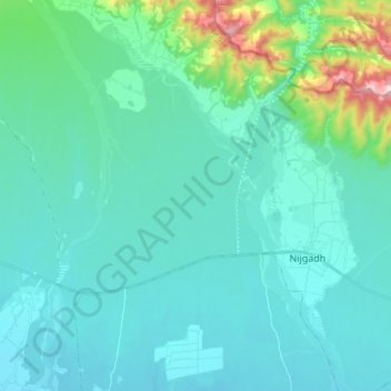
Name: Nijgadh topographic map, elevation, terrain.
Location: Nijgadh, Bara, Madhesh Province, Nepal (27.15661 85.05562 27.25041 85.23289)
Average elevation: 218 m
Minimum elevation: 119 m
Maximum elevation: 830 m