Geolocate

Braås topographic map

Click on the map to display elevation.

About this map

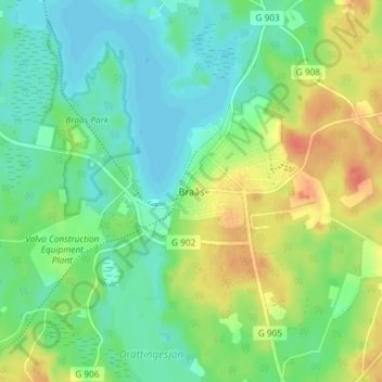
Name: Braås topographic map, elevation, terrain.

Location: Braås, Växjö kommun, Kronoberg County, Sweden (57.03979 15.02836 57.07979 15.06836)

Average elevation: 200 m

Minimum elevation: 183 m

Maximum elevation: 229 m

Gear up for your next adventure:

💧Reusable Water Bottle - Durable water bottles for hydration on trails
🌡️Emergency Mylar Blankets - Compact thermal protection for unexpected nights outdoors
🚑Survival Whistle - Signal for help across long distances in mountains
🔨Vehicle Emergency Tool - Safety tool for remote road trips to trailheads
🔦LED Headtorch - Bright and durable light for night activities

As an Amazon Associate, this site earns from qualifying purchases at no extra cost to you.