
Ingrave topographic map
Interactive map
Click on the map to display elevation.
About this map
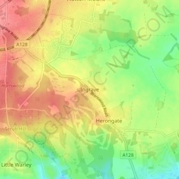
Name: Ingrave topographic map, elevation, terrain.
Location: Ingrave, Brentwood, Essex, Angleterre, CM13 3QZ, Royaume-Uni (51.58428 0.32100 51.62428 0.36100)
Average elevation: 76 m
Minimum elevation: 37 m
Maximum elevation: 113 m