
Dunsmuir topographic map
Interactive map
Click on the map to display elevation.
About this map
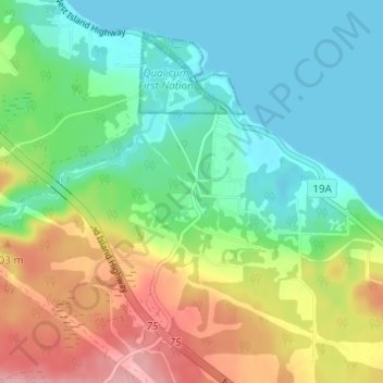
Name: Dunsmuir topographic map, elevation, terrain.
Average elevation: 46 m
Minimum elevation: 0 m
Maximum elevation: 134 m
Other topographic maps
Click on a map to view its topography, its elevation and its terrain.
Qualicum Bay
Canada > British Columbia > Regional District of Nanaimo > Area H (Lighthouse Country)
Qualicum Bay, Area H (Lighthouse Country), Regional District of Nanaimo, British Columbia, Canada
Average elevation: 21 m