Geolocate

La Balsa topographic map

Click on the map to display elevation.

About this map

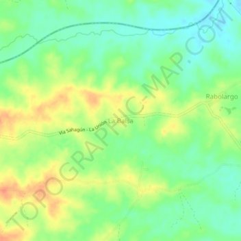
Name: La Balsa topographic map, elevation, terrain.

Location: La Balsa, La Unión, San Jorge, Sucre, Colombia (8.83271 -75.35743 8.87271 -75.31743)

Average elevation: 71 m

Minimum elevation: 51 m

Maximum elevation: 95 m

Other topographic maps

Click on a map to view its topography, its elevation and its terrain.

Parque de las Letras

Colombia > Sucre > La Unión

Average elevation: 65 m

Gear up for your next adventure:

🥾Hiking Boots - Sturdy boots providing ankle support and traction on rugged trails
🧶550 Survival Paracord - Versatile utility cord for emergency repairs and rigging
🧤Rechargeable Heated Gloves - Extreme warmth for Canadian winter expeditions
🧴Bear Spray Holster - Quick-access carry for essential Canadian wilderness safety
🧢Beanie Hat - Keep your head warm in cold weather

As an Amazon Associate, this site earns from qualifying purchases at no extra cost to you.