Geolocate

McCown topographic map

Click on the map to display elevation.

About this map

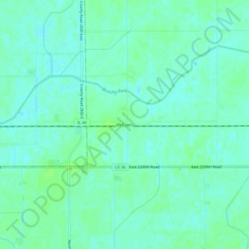
Name: McCown topographic map, elevation, terrain.

Location: McCown, Edgar County, Illinois, United States (39.77920 -87.94809 39.81920 -87.90809)

Average elevation: 198 m

Minimum elevation: 194 m

Maximum elevation: 202 m

Other topographic maps

Click on a map to view its topography, its elevation and its terrain.

Hume

United States > Illinois > Edgar County

Average elevation: 199 m

Hume

United States > Illinois > Edgar County

Average elevation: 199 m

Brocton

United States > Illinois > Edgar County

Average elevation: 203 m

Chrisman

United States > Illinois > Edgar County

Average elevation: 197 m

Gear up for your next adventure:

🥾Trail Running Shoes - Lightweight and durable shoes for trail running
🧢Outdoor Visor - Breathable visor for sunny hikes
🥾Waterproof Hiking Boots - Essential footwear for rugged terrain and wet Canadian trails
❄️Traction Ice Cleats - Slip-on spikes for icy trails and winter hiking
🛌Insulated Sleeping Pad - Critical thermal barrier between you and the cold ground

As an Amazon Associate, this site earns from qualifying purchases at no extra cost to you.