
Make a donation
Gear up for your next adventure:
As an Amazon Associate, this site earns from qualifying purchases at no extra cost to you.
Qalansiyah topographic map
Click on the map to display elevation.
Make a donation
Gear up for your next adventure:
As an Amazon Associate, this site earns from qualifying purchases at no extra cost to you.
About this map
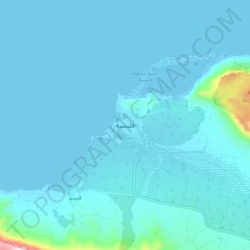
Name: Qalansiyah topographic map, elevation, terrain.
Average elevation: 42 m
Minimum elevation: -5 m
Maximum elevation: 670 m
Make a donation
Gear up for your next adventure:
As an Amazon Associate, this site earns from qualifying purchases at no extra cost to you.
Other topographic maps
Click on a map to view its topography, its elevation and its terrain.
عبد الكوري
The terrain of Abd al-Kuri is semi-arid, with little vegetation; annual monsoons, originating from the Indian Subcontinent, deliver vital precipitation each year. Two ranges of large hills, separating near the island's centre, run nearly the entire east-west length of the island. The northern coast consists…
Average elevation: 7 m
Socotra
The main island has three geographical terrains: the narrow coastal plains, a limestone plateau with karst topography and the Hajhir Mountains. The mountains rise to 1,503 metres (4,931 ft). The island is about 125 kilometres (78 mi) long and 45 kilometres (28 mi) north to south.
Average elevation: 64 m