Geolocate

Las Vegas topographic map

Click on the map to display elevation.

About this map

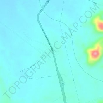
Name: Las Vegas topographic map, elevation, terrain.

Location: Las Vegas, Chimichagua, Cesar, Colombia (9.06837 -73.66087 9.08837 -73.64087)

Average elevation: 62 m

Minimum elevation: 44 m

Maximum elevation: 178 m

Gear up for your next adventure:

🧣Merino Neck Gaiter - Protects against wind, sun, and cold at high altitudes
🥾Hiking Boots - Sturdy boots providing ankle support and traction on rugged trails
🥾Trail Hiking Socks - Comfortable socks to prevent blisters and fatigue
Lightweight Camping Tent - Portable shelter optimized for Canadian backcountry camping
🪑Ultralight Camping Stool - Compact seating for rest stops during long hikes

As an Amazon Associate, this site earns from qualifying purchases at no extra cost to you.