Geolocate

Milltimber topographic map

Click on the map to display elevation.

About this map

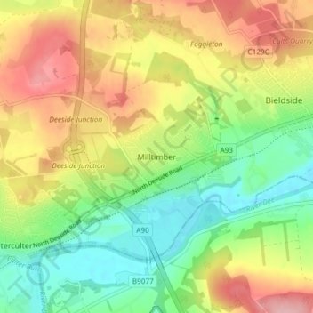
Name: Milltimber topographic map, elevation, terrain.

Location: Milltimber, Aberdeen City, Scotland, AB13 0HU, United Kingdom (57.08752 -2.25327 57.12752 -2.21327)

Average elevation: 74 m

Minimum elevation: 7 m

Maximum elevation: 158 m

Gear up for your next adventure:

🕶️Polarized Sunglasses - Reduces glare from snow and water at high elevations
🧣Evaporative Cooling Towel - Beat the heat during intense summer climbs
🥾Mountain Trail Shoes - High-traction shoes for mountain trails
🔦LED Flashlight - Powerful and long-lasting flashlight for camping and emergencies
🧰Emergency Multi-Tool - Compact multi-tool for outdoor survival

As an Amazon Associate, this site earns from qualifying purchases at no extra cost to you.