
Láb topographic map
Interactive map
Click on the map to display elevation.
About this map
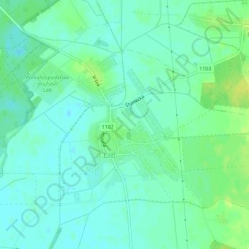
Name: Láb topographic map, elevation, terrain.
Location: Láb, okres Malacky, Région de Bratislava, 900 67, Slovaquie (48.35634 16.95803 48.37324 16.98456)
Average elevation: 149 m
Minimum elevation: 142 m
Maximum elevation: 159 m