
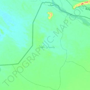
ولسوالی خمآب topographic map
Interactive map
Click on the map to display elevation.
About this map
Name: ولسوالی خمآب topographic map, elevation, terrain.
Location: ولسوالی خمآب, Dschuzdschan, Afghanistan (37.11224 65.51916 37.54132 65.86429)
Average elevation: 264 m
Minimum elevation: 247 m
Maximum elevation: 387 m