Geolocate

Jaraiz topographic map

Click on the map to display elevation.

About this map

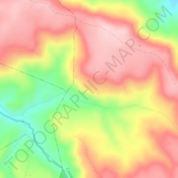
Name: Jaraiz topographic map, elevation, terrain.

Location: Jaraiz, Castejón, Castilla-La Mancha, España (40.38408 -2.58555 40.40408 -2.56555)

Average elevation: 955 m

Minimum elevation: 822 m

Maximum elevation: 1,043 m

Gear up for your next adventure:

❄️Traction Ice Cleats - Slip-on spikes for icy trails and winter hiking
🕶️Polarized Sunglasses - Reduces glare from snow and water at high elevations
🛁Quick-Dry Microfiber Towel - Space-saving towel that dries rapidly on the move
🥾Hiking Boots - Sturdy boots providing ankle support and traction on rugged trails
🕯️Camping Lantern - Illuminates your entire campsite with high-efficiency LEDs

As an Amazon Associate, this site earns from qualifying purchases at no extra cost to you.