Geolocate

Misery Island topographic map

Click on the map to display elevation.

About this map

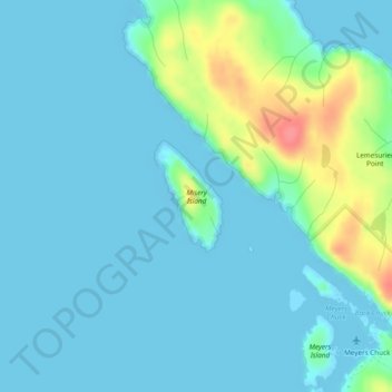
Name: Misery Island topographic map, elevation, terrain.

Location: Misery Island, Wrangell, Alaska, United States (55.74667 -132.28313 55.75432 -132.27472)

Average elevation: 12 m

Minimum elevation: -20 m

Maximum elevation: 68 m

Gear up for your next adventure:

🧼Biodegradable Camp Soap - Environmentally friendly cleaning for gear and body
🧴Outdoor Sunscreen - High SPF protection for high-altitude UV exposure
🧥Waterproof Jacket - Lightweight rain jackets for hiking and outdoor activities
🕯️Camping Lantern - Illuminates your entire campsite with high-efficiency LEDs
🧶550 Survival Paracord - Versatile utility cord for emergency repairs and rigging

As an Amazon Associate, this site earns from qualifying purchases at no extra cost to you.