Geolocate

Hammon topographic map

Click on the map to display elevation.

About this map

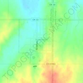
Name: Hammon topographic map, elevation, terrain.

Location: Hammon, Roger Mills County, Oklahoma, 73650, United States (35.62432 -99.39031 35.63904 -99.37389)

Average elevation: 545 m

Minimum elevation: 525 m

Maximum elevation: 571 m

Gear up for your next adventure:

🛶Waterproof Dry Bags - Keep electronics and clothes dry during river crossings
🪑Insulated Seat Pad - Protect your seat from cold rocks and wet logs
💧Hydration Bladder - Hands-free hydration solution for long treks
💧Filtered Water Bottle - Safe drinking water on the go
🔪Outdoor Multitool - Versatile tool for repairs and food prep in the wild

As an Amazon Associate, this site earns from qualifying purchases at no extra cost to you.