
Keyhole topographic map
Click on the map to display elevation.
About this map
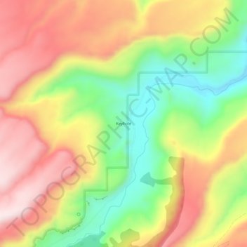
Name: Keyhole topographic map, elevation, terrain.
Location: Keyhole, Delta County, Colorado, United States (38.67304 -108.32897 38.71304 -108.28897)
Average elevation: 1,805 m
Minimum elevation: 1,547 m
Maximum elevation: 2,051 m